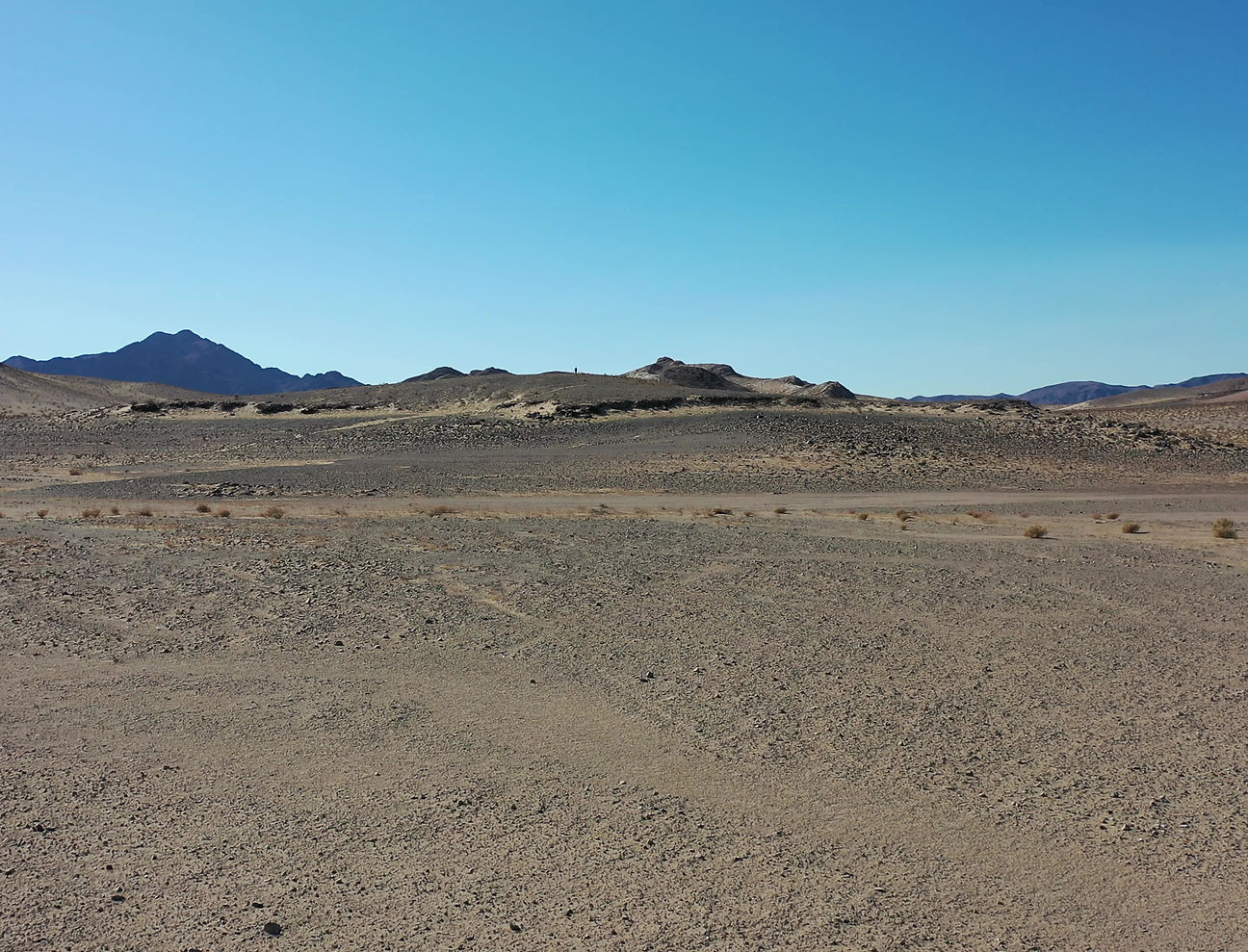
Leeper Aerial focuses on technical UAS-derived photogrammetry projects providing premier quality client deliverables with high relative accuracy.
PHOTOGRAMMETRY
Photogrammetry is a range-imaging technique used to derive digitally scaled models of the three-dimensional structure and form of landscapes, buildings, and other settings, from two-dimensional images acquired by UAVs or handheld cameras.

Sparse point cloud (tie points)

Dense point cloud

Dense point cloud, altitude (R,G,B)

Digital surface model of 6-acre site
LANDSCAPE DEVELOPMENT
Photogrammetry outputs with high relative accuracy include orthomosaics and digital elevation models, from which elevation contours are derived.

Orthomosaic

Digital terrain model

Colored (elevation) digital terrain model with hillshade, contours and vegetation attributes

Orthomosaic with contours and native vegetation species census and vegetation attributes
SITE DOCUMENTATION & ANALYSIS
3D models with high relative accuracy and high resolution enable interpretation of ortho-imagery and derivation and analyses of linear (X, Y, and Z), areal, and volumetric site attributes, i.e., vegetation height, diameter, and area of groundcover.

Mid-workflow image of a 2.5-acre site 3D model showing locations of native desert vegetation species. Pairing and sharing high-resolution 3D models and ortho-imagery online for data and imagery interpretation and analysis with team members helps to ensure efficient workflows and reliable high-quality client deliverables.

Mid-workflow high-resolution orthomosaic depicting native vegetation species census data highlighting Joshua Tree (Yucca brevifolia) [yellow], Mojave Yucca (Yucca schidigera) [blue], and California Juniper (Juniper californica) [red] locations.
CHANGE DETECTION
Topographic change detection is a powerful tool for detecting and monitoring small- and large-scale changes at a site over time in locations such as construction sites, a private residential property, or barren landscape along the wildland-urban interface. A permanent high-resolution record can be created from drone imagery that can be shared with team members and stakeholders who have a vested interest in the project.


Debris basin orthomosaic, 10/15/2016, following wildfire
and prior to winter rains.
Debris basin orthomosaic, 12/24/2016, following a winter storm.
POST-FIRE ANALYSIS
Utilizing UAVs during post-wildfire assessments and erosion response planning reduces risk and increases personnel safety, efficiency, and understanding of site-specific post-wildfire erosion hazards. Repeat UAV surveys combined with photogrammetry processing and GIS can contribute to improved understanding of burn scar conditions, which can change from storm to storm, for refined hazards assessments and planning as landscapes recover from wildfire and vegetation is reestablished over time.

3D ANIMATION
3D models (textured mesh or point cloud) with high relative accuracy are usable in architectural drafting software and provide advanced visualizations to help ensure clients are appropriately informed of final structural design plans and aesthetics.


4k video creates a permanent high-resolution digital record in amazing detail that is useful for site documentation and improving understanding of finer details of a small (< 40-acres) or large (>40-acres) site. 4k video is ideal for initial reconnaissance of large sections of land in the beginning stages of site development brainstorming and planning.
VIDEO
